Map of M4 Junctions 42 to 49: Swansea to Pont Abraham
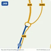
The final section runs from Briton Ferry along the north of Swansea, past Llansamlet, Morriston and Penllergaer, to Hendy and Pont Abraham, where the M4 ends and the A48 carries on to Carmarthen and west Wales.
Swansea commuters, Morriston Hospital visitors and holidaymakers heading for Gower and Pembrokeshire use this stretch. There are services at Swansea West and Pont Abraham. Live speeds are not shown yet: National Highways' data stops at the Welsh border.
Tap any junction number on the map to open that junction’s own page, with its close-up map and the places around it.
Map data © OpenStreetMap contributors. Map drawing © Corporate Ace Limited.
Driving Junction 42 to Junction 49: Distances and Times
From junction 42 to junction 49 is about 14½ miles along the M4, about 13 minutes at the 70 mph speed limit in clear traffic. Here it is junction by junction; tap a junction to open its own page.
- J42 to J43: about 1 mile, under a minute
- J43 to J44: about 1½ miles, about 1 minute
- J44 to J45: about 2 miles, about 2 minutes
- J45 to J46: about 2 miles, about 2 minutes
- J46 to J47: about 1½ miles, about 1 minute
- J47 to J48: about 4 miles, about 3 minutes
- J48 to J49: about 2½ miles, about 2 minutes
Distances are measured along the motorway between the centres of the junctions, from OpenStreetMap, and rounded to the nearest half mile. Times are at a steady 70 mph and do not allow for joining, leaving, roadworks or lower speed limits.
The Junctions in Section 7
- J42EarlswoodNearest town: Briton Ferry, 0.7 miles east
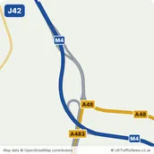
- J43LlandarcyNearest town: Briton Ferry, 1.5 miles south-east
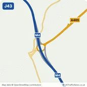
- J44Lôn-lasNearest town: Clydach, 2.4 miles north
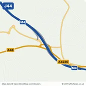
- J45YnysforganNearest town: Clydach, 1.6 miles north-east
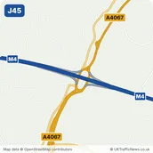
- J46LlangyfelachNearest town: Clydach, 3.1 miles north-east
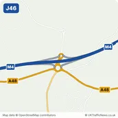
- J47PenllergaerNearest town: Gorseinon, 2.1 miles west
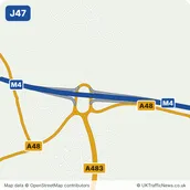
- J48HendyNearest town: Pontarddulais, 0.9 miles east
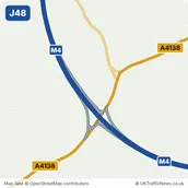
- J49Pont AbrahamNearest town: Pontarddulais, 2.4 miles south-east