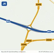
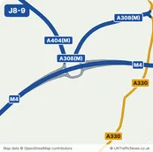
M4
M4 Junction 7: Huntercombe Spur
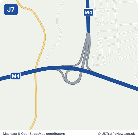
Junction 7 at Huntercombe links the M4 to the A4 for the west side of Slough and Taplow. Dorney, Cippenham and Dorney Reach are beside it. Westgate Retail Park is about a mile east, and Taplow station about a mile and a half north-west.
For west Slough, Taplow and Dorney, whether you live there, deliver there or are calling on someone for the first time, this is the junction to know about.
Check this junction now: live M4 speed flow map · latest M4 traffic news · M4 serious incidents · M4 accidents
M4 Junction 7 Now: Accidents, Incidents and Roadworks
Live Traffic Speeds at M4 Junction 7
The speed strip below shows the M4 around this junction, both directions, from National Highways’ live data, checked every five minutes.
All the latest M4 traffic news →Live M4 traffic speed flow map →
- Junction M4 J7, Huntercombe Spur
- Nearest town Eton, 2.6 miles south-east
- Junction before J6, Tuns Lane, about 1.8 miles in a straight line
- Junction after J8/9, Holyport, about 3.0 miles in a straight line
Around M4 Junction 7: Huntercombe Spur: Towns and Places on the Map
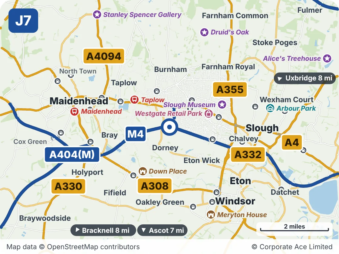
| Place | What it is | From the junction |
|---|---|---|
| Westgate Retail Park | Shopping | About 1 mile east |
| Taplow | Railway station | About 1.5 miles north-west |
| Down Place | Historic house or castle | About 1.5 miles south-west |
| Slough Museum | Attraction | About 1.5 miles north-east |
| Maidenhead | Railway station | About 3 miles west |
| Meryton House | Historic house or castle | About 3 miles south-east |
| Druid's Oak | Attraction | About 3 miles north |
| Arbour Park | Venue | About 3 miles east |