M4 Junction 4: Heathrow (A408, A3044)
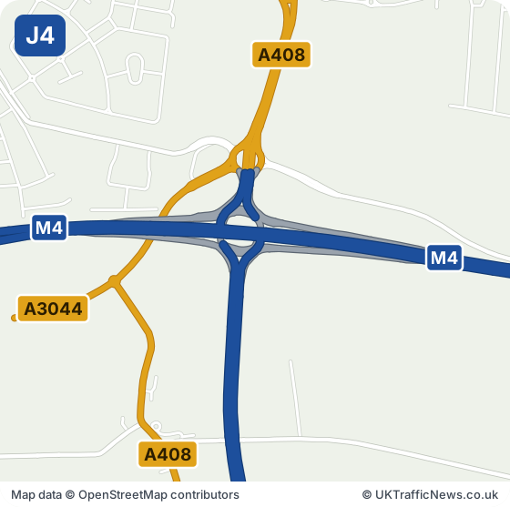
Junction 4 is the main turn for Heathrow's central terminals, along the M4 spur, and for Hayes, West Drayton and Uxbridge on the A408. Sipson and Stockley are close by. Heathrow Terminals 2 and 3 are about a mile and a half south.
Airport staff, passengers, taxi and private-hire drivers, and anyone collecting a relative off a flight all pass through Junction 4. Checking it before you leave can save a missed flight or a long wait at arrivals.
Heathrow is the busiest airport in Europe, handling more than 80 million passengers a year, so this junction is busy at all hours. Flights, parking and drop-off details are on the Heathrow website ↗ (opens in a new tab).
Check this junction now: live M4 speed flow map · latest M4 traffic news · M4 serious incidents · M4 accidents
M4 Junction 4 Now: Accidents, Incidents and Roadworks
Live Traffic Speeds at M4 Junction 4
The speed strip below shows the M4 around this junction, both directions, from National Highways’ live data, checked every five minutes.
All the latest M4 traffic news →Live M4 traffic speed flow map →
- Junction M4 J4, Heathrow
- Roads at this junction A408, A3044
- Nearest town Southall, 3.5 miles east
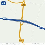
- Junction before J3, Cranford Parkway, about 1.9 miles in a straight line
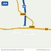
- Junction after J4A, Concorde Roundabout, about 0.9 miles in a straight line
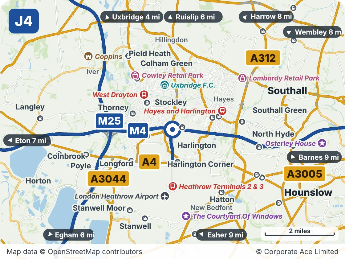
Around M4 Junction 4: Heathrow: Towns and Places on the Map
| Place | What it is | From the junction |
|---|---|---|
| West Drayton | Railway station | About 1.5 miles north-west |
| Uxbridge F.C. | Venue | About 1.5 miles north |
| Hayes and Harlington | Railway station | About 1.5 miles east |
| Heathrow Terminals 2 & 3 | Railway station | About 1.5 miles south |
| Cowley Retail Park | Shopping | About 2 miles north-west |
| London Heathrow Airport | Airport | About 2 miles south |
| Lombardy Retail Park | Shopping | About 2.5 miles north-east |
| The Courtyard Of Windows | Attraction | About 2.5 miles south |