M4 Junction 22: Pilning (M49, A403)
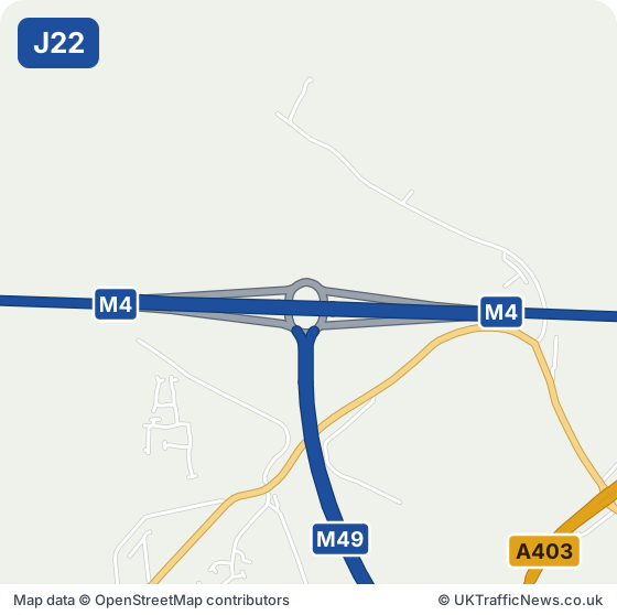
Junction 22 at Pilning links the M4 to the M49 for Avonmouth and the A403, the last junction in England before the Prince of Wales Bridge carries the M4 over the Severn. Redwick, Severn Beach and Pilning are beside it. Pilning station is about a mile and a half south-east.
Avonmouth's docks and warehouses bring lorry drivers, shift workers and couriers to this junction, and it is the last stop before the Severn. If you are crossing into Wales or working at the docks, this page is a good first look.
Check this junction now: live M4 speed flow map · latest M4 traffic news · M4 serious incidents · M4 accidents
M4 Junction 22 Now: Accidents, Incidents and Roadworks
Live Traffic Speeds at M4 Junction 22
The speed strip below shows the M4 around this junction, both directions, from National Highways’ live data, checked every five minutes.
All the latest M4 traffic news →Live M4 traffic speed flow map →
- Junction M4 J22, Pilning
- Roads at this junction M49, A403
- Nearest town Caldicot, 4.3 miles west
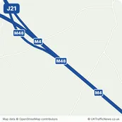
- Junction before J21, Awkley Interchange, about 3.6 miles in a straight line
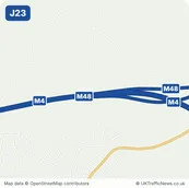
- Junction after J23, Rogiet, about 6.8 miles in a straight line
Around M4 Junction 22: Pilning: Towns and Places on the Map
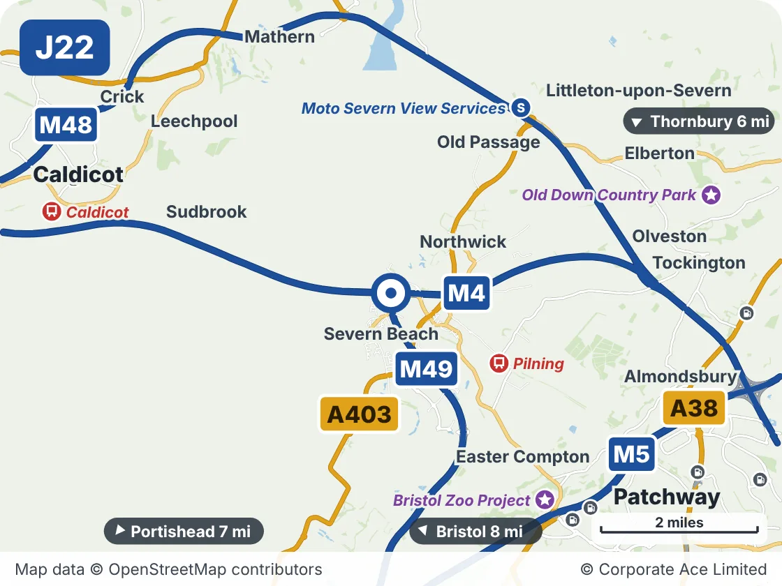
| Place | What it is | From the junction |
|---|---|---|
| Pilning | Railway station | About 1.5 miles south-east |
| Moto Severn View Services | Motorway services | About 3 miles north-east |
| Bristol Zoo Project | Attraction | About 3.5 miles south-east |
| Old Down Country Park | Attraction | About 4.5 miles east |
| Caldicot | Railway station | About 4.5 miles west |