M4 Junction 43: Llandarcy (A465)
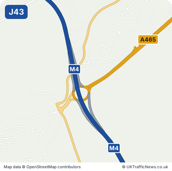
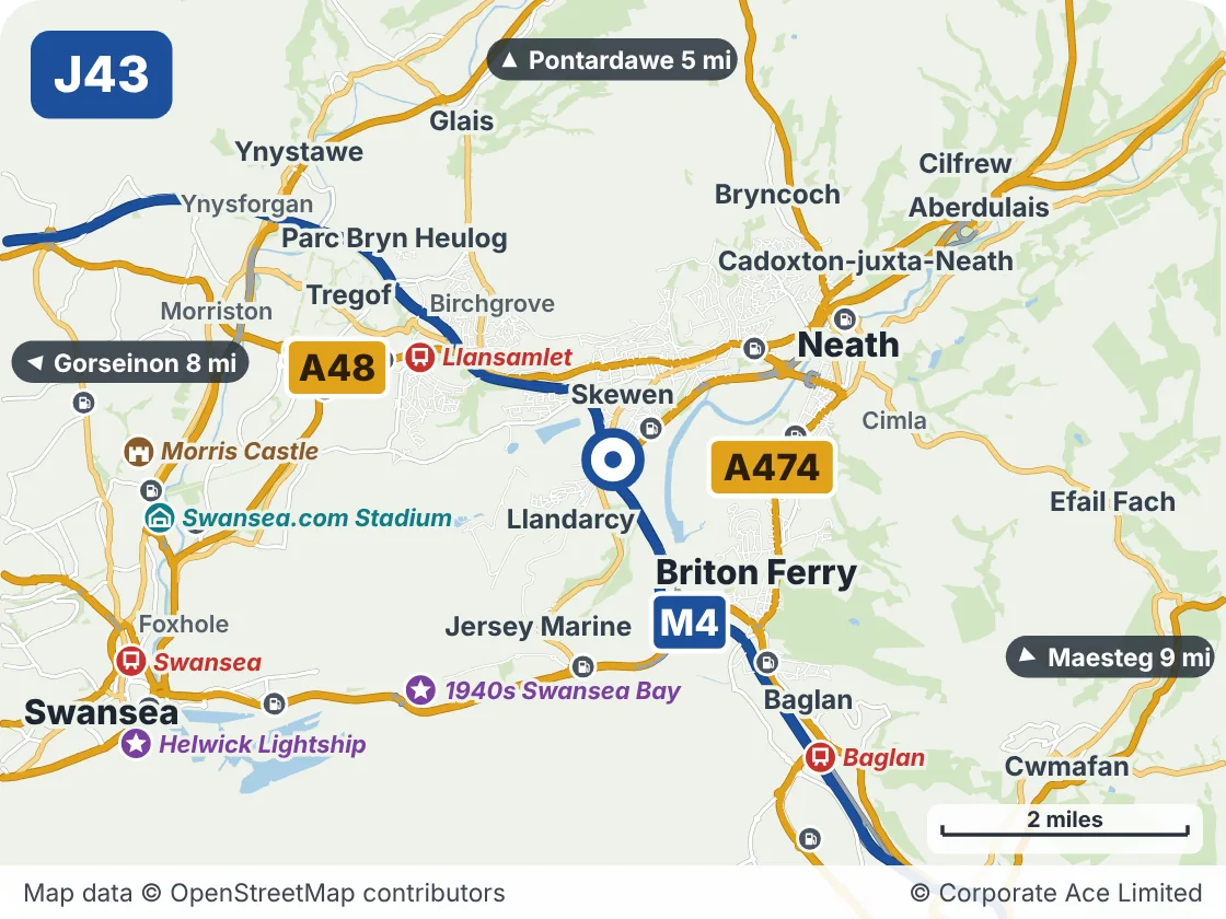
Junction 43 at Llandarcy is where the A465 Heads of the Valleys road leaves for Neath and Merthyr Tydfil. Skewen, Llandarcy and Coed Darcy are beside it, and Briton Ferry is about a mile and a half south-east. Llansamlet station is about two miles north-west.
Neath and the Heads of the Valleys road start here. If your journey takes the A465, the area map shows how this junction links Skewen, Llandarcy and Coed Darcy.
The M4 in England: live M4 speed flow map · latest M4 traffic news (Junctions 1 to 23)
M4 Junction 43: Live Traffic Information
This junction is on the M4 in Wales. National Highways’ live data, which our news, speed strip and records use, covers the M4 in England up to Junction 23. In Wales the motorway is run for the Welsh Government by Traffic Wales, so this page does not yet show live accidents, incidents, roadworks or speeds for this junction. We are working on adding them. Until then, check Traffic Wales before you travel.
- Junction M4 J43, Llandarcy
- Roads at this junction A465
- Nearest town Briton Ferry, 1.5 miles south-east
- Junction before J42, Earlswood, about 1.1 miles in a straight line
- Junction after J44, Lôn-las, about 1.6 miles in a straight line
Around M4 Junction 43: Llandarcy: Towns and Places on the Map
| Place | What it is | From the junction |
|---|---|---|
| Llansamlet | Railway station | About 2 miles north-west |
| 1940s Swansea Bay | Attraction | About 2.5 miles south-west |
| Baglan | Railway station | About 3 miles south-east |
| Swansea.com Stadium | Venue | About 3.5 miles west |
| Morris Castle | Historic house or castle | About 4 miles west |
| Swansea | Railway station | About 4.5 miles south-west |
| Helwick Lightship | Attraction | About 4.5 miles south-west |