M4 Junction 33: Capel Llanilltern (A4119, A4232)
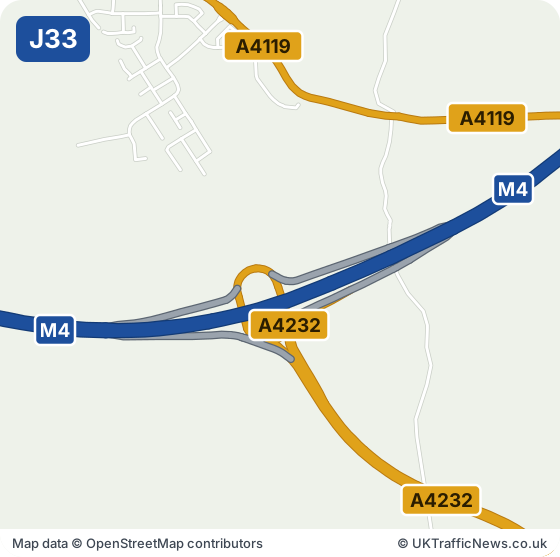
Junction 33 at Capel Llanilltern links the M4 to the A4232 for west Cardiff and the A4119 for Llantrisant. Cardiff West Services is at the junction, with Creigiau the nearest village. Hensol Castle is about three miles west.
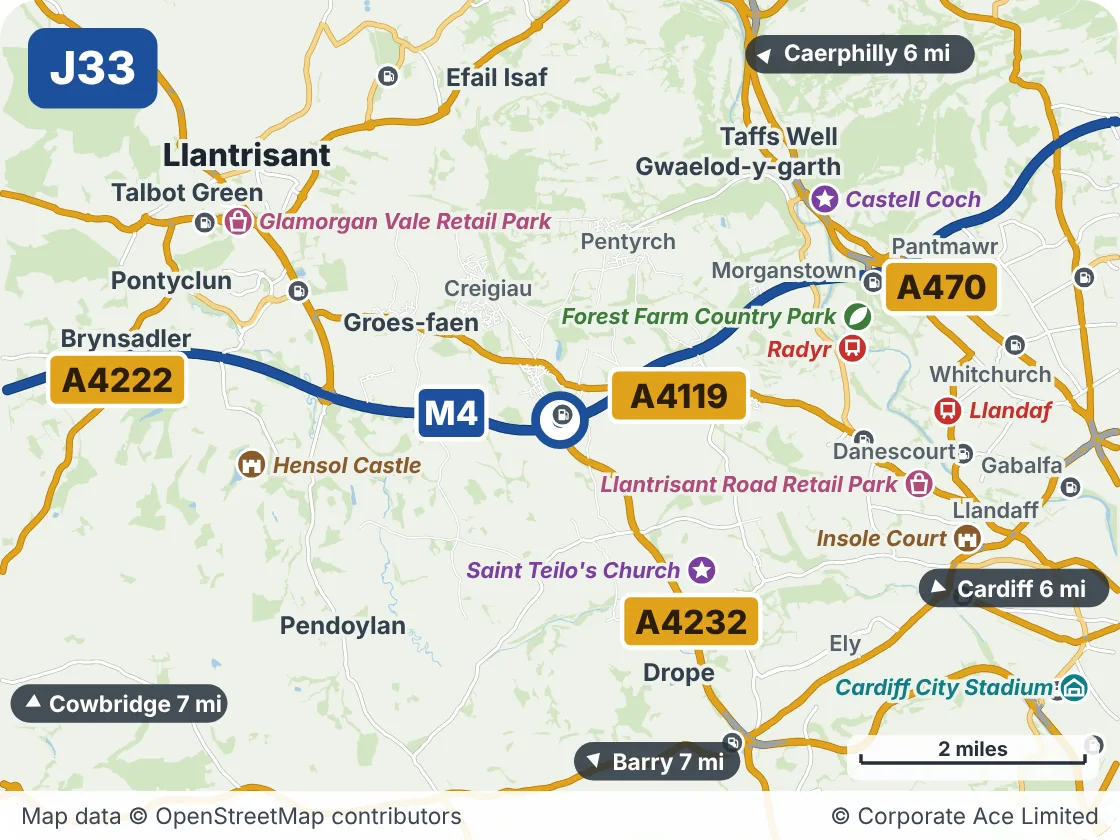
West Cardiff, Creigiau and Llantrisant are reached from Junction 33. If you are visiting the area or working there for the first time, the area map gives you the lie of the land.
The M4 in England: live M4 speed flow map · latest M4 traffic news (Junctions 1 to 23)
M4 Junction 33: Live Traffic Information
This junction is on the M4 in Wales. National Highways’ live data, which our news, speed strip and records use, covers the M4 in England up to Junction 23. In Wales the motorway is run for the Welsh Government by Traffic Wales, so this page does not yet show live accidents, incidents, roadworks or speeds for this junction. We are working on adding them. Until then, check Traffic Wales before you travel.
- Junction M4 J33, Capel Llanilltern
- Roads at this junction A4119, A4232
- Nearest town Llantrisant, 3.7 miles north-west
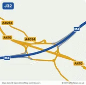
- Junction before J32, Coryton, about 3.3 miles in a straight line
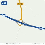
- Junction after J34, Miskin, about 2.0 miles in a straight line
Around M4 Junction 33: Capel Llanilltern: Towns and Places on the Map
| Place | What it is | From the junction |
|---|---|---|
| Saint Teilo's Church | Attraction | About 2 miles south-east |
| Radyr | Railway station | About 2.5 miles east |
| Hensol Castle | Historic house or castle | About 3 miles west |
| Forest Farm Country Park | Park or nature reserve | About 3 miles east |
| Castell Coch | Attraction | About 3 miles north-east |
| Llantrisant Road Retail Park | Shopping | About 3.5 miles east |
| Glamorgan Vale Retail Park | Shopping | About 3.5 miles north-west |
| Llandaf | Railway station | About 3.5 miles east |