Map of M4 Junctions 12 to 17: Newbury, Swindon and Chippenham
From Theale the M4 heads west through open country, over the Berkshire Downs past Newbury and Hungerford, then down to Swindon and across north Wiltshire to Chippenham. Junction 13 at Chieveley is where the A34 crosses for Oxford and Southampton.
Lorries on the A34, commuters into Swindon and visitors to the Lambourn and Marlborough downs use this stretch. There are services at Chieveley, Membury and Leigh Delamere.
The road on the map is coloured by the live traffic flow speed, the same data as our live M4 traffic flow map. Choose westbound or eastbound above the map. Tap any junction number to open that junction’s own page.
Map data © OpenStreetMap contributors. Map drawing © Corporate Ace Limited.
Driving Junction 12 to Junction 17: Distances and Times
From junction 12 to junction 17 is about 49 miles along the M4, about 42 minutes at the 70 mph speed limit in clear traffic. Here it is junction by junction; tap a junction to open its own page.
- J12 to J13: about 11½ miles, about 10 minutes
- J13 to J14: about 7½ miles, about 6 minutes
- J14 to J15: about 12 miles, about 10 minutes
- J15 to J16: about 5½ miles, about 5 minutes
- J16 to J17: about 12½ miles, about 11 minutes
Distances are measured along the motorway between the centres of the junctions, from OpenStreetMap, and rounded to the nearest half mile. Times are at a steady 70 mph and do not allow for joining, leaving, roadworks or lower speed limits, so check the live map above and the live M4 speed flow map before you set off.
M4 Junctions 12 to 17 Now: Accidents, Incidents and Roadworks
Live traffic news at M4 Junctions 12 to 17
Incidents and roadworks between Junction 12 and Junction 17 that we are aware of.
Hardshoulder closure
22:20 (10:20pm)21 Oct 2026reported 6 min ago
- Location
- M4 eastbound between J17 and J16
- Direction
- Eastbound
- Lanes closed
- Hard shoulder closed
- Reason
- Roadworks
- Schedule
- 23:59 (11:59pm) Tue 27 Apr 2021 → 18:00 (6pm) Fri 30 July 2027
M4 eastbound lane 3 and lane 2 closure (109/4 to 104/8)
22:20 (10:20pm)21 Oct 2026reported 6 min ago
- Location
- M4 eastbound between J15 and J14
- Direction
- Eastbound
- Lanes closed
- Lane closures
- Reason
- Construction work
- Schedule
- 21:18 (9:18pm) Wed 21 Oct 2026 → 06:00 (6am) Thu 22 Oct 2026
M4 eastbound lane 1 closure (119/8 to 119/0)
22:20 (10:20pm)21 Oct 2026reported 6 min ago
- Location
- M4 eastbound between J15 and J14
- Direction
- Eastbound
- Lanes closed
- Lane closures
- Reason
- Repair work
- Schedule
- 20:10 (8:10pm) Wed 21 Oct 2026 → 06:00 (6am) Thu 22 Oct 2026
+ 4 more near Junctions 12 to 17 - see all the M4 traffic news →
This is the news for Junctions 12 to 17 only, not the whole M4. For the rest of the motorway see all the latest M4 traffic news, the overhead signs and the speed limits in force now.
Updated 22:27 (10:27pm) Wed 21 Oct 2026
The Junctions in Section 3
- J12ThealeNearest town: Reading, 4.3 miles east
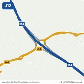
- J13Chieveley InterchangeNearest town: Newbury, 3.6 miles south
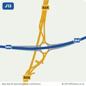
- J14Wickham InterchangeNearest town: Hungerford, 3.0 miles south-west
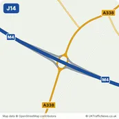
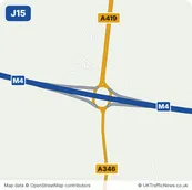
- J15Plough Hill InterchangeNearest town: Swindon, 3.5 miles north-west
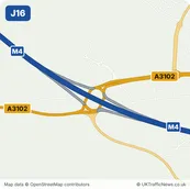
- J16SpittleboroughNearest town: Royal Wootton Bassett, 2.2 miles west
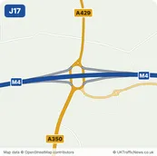
- J17Stanton St QuintinNearest town: Chippenham, 3.9 miles south